
Are you a small business owner interested in taking on a school leaver Apprentice? Here is everything you need to know about the new incentive payments that may be available to you.
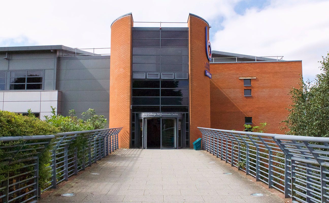

Bury College is centrally located near the town centre within walking distance of the Bury Metrolink and the Bus Station.
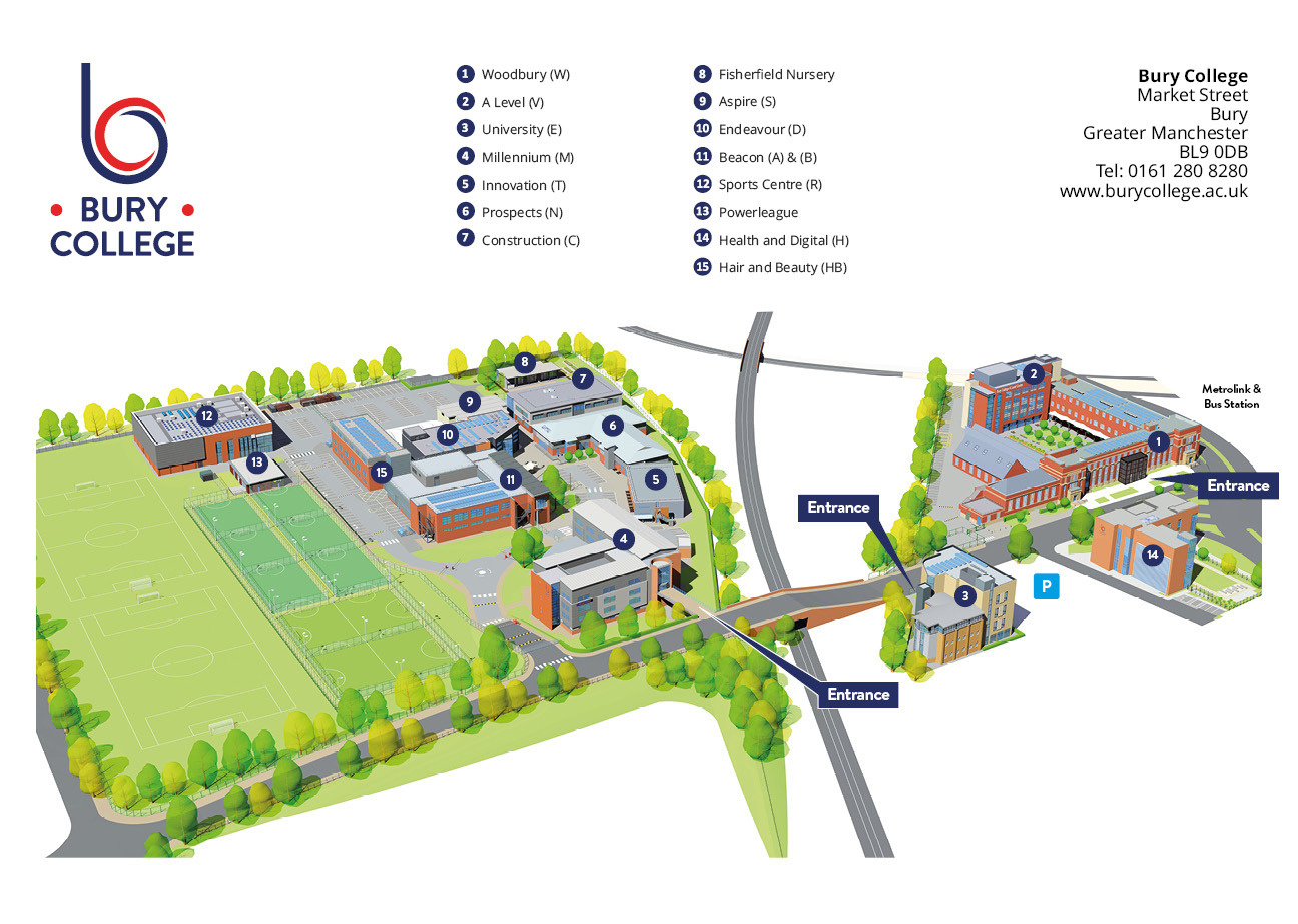
Exit M66 Junction 2. Follow the signs for Bury town centre (1 mile). Pass the new Rock Shopping complex situated on your right and then further along past the DW Fitness Centre on your left. After 100 metres turn left into Market Street at the next set of traffic lights.
The Woodbury Centre and Health and Digital are at the top of Market Street near Bury Town Centre. The Millennium Centre is on the right further down Market Street, opposite the Athletics Track. The Prospects, Beacon, Aspire, Innovation, Endeavour, Sport, Construction and Hair and Beauty Centres are located to the rear of the Millennium Centre.
Straight along the A56 from Bury New Road into Bury (approx 10 miles).
At the traffic lights at the junction where Parkhills Road / Radcliffe Road crosses the A56, take the middle lane. Through the lights, this becomes a right hand only turn, into Wellington Road. On Wellington Road turn left at the first roundabout onto Market Street.
The Millennium Centre is on your left opposite the Athletics Track. The Prospects, Beacon, Aspire, Innovation, Endeavour, Sport, Construction and Hair and Beauty Centres are located to the rear of the Millennium Centre. The Woodbury Centre and Health and Digital are at the top of Market Street near Bury Town Centre.
Bury College is also accessible via Metrolink or bus.
By Bus: For the latest bus information visit www.tfgm.com and select Journey Planner, or call 0871 2002233.
By Metrolink: from any Manchester Metrolink station to Bury Interchange. Visit: www.metrolink.co.uk for more information.
For more information click here.

Are you a small business owner interested in taking on a school leaver Apprentice? Here is everything you need to know about the new incentive payments that may be available to you.
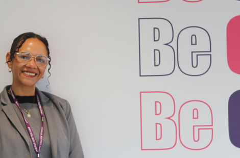
A Bury College adult learner has transformed her life and career, progressing from Level 2 Counselling on to running her own private practice, which has recently been shortlisted for a business award.
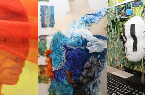
Bury College's annual Art and Design Exhibition celebrated the creativity, talent and achievements of students across a range of creative disciplines. Showcasing work in photography, graphic design, games art and mixed media, the exhibition highlighted how students are using creativity to explore contemporary issues, develop professional skills and prepare for exciting futures in the creative industries.
_470x310.png)
Health and Social Care staff from Bury College travelled to Milan, Italy, to attend the Anatomage Conference, gaining valuable insights into the latest developments in anatomy education and healthcare technology. The experience provided opportunities to learn from leading healthcare professionals across Europe and bring new ideas, techniques and industry knowledge back to the classroom, helping to enhance learning opportunities for students.
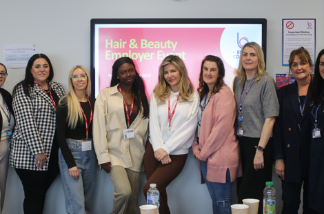
Bury College recently hosted an event for its valued hair and beauty partner employers, thanking them for their ongoing support.
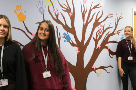
Bury College art students worked with the Next Chapter Hub in Bury to create vibrant murals, helping transform the space for local care leavers.